
Description
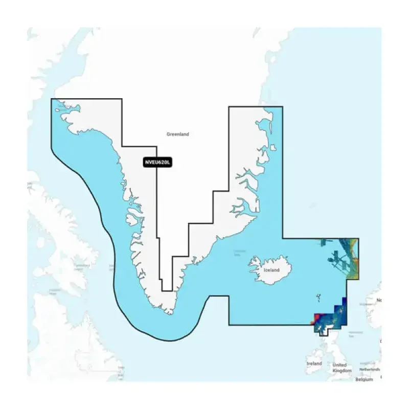
Garmin Carto 010C127000 Greenland & Iceland Garmin Navionic
The
Garmin Carto 010C127000 Greenland & Iceland Garmin Navionic is a state-of-the-art marine cartography solution, specifically designed for avid sailors and navigators exploring the stunning waters of Greenland and Iceland. This high-definition mapping system provides a wealth of navigational data, ensuring safer and more efficient voyages.
Key Specifications
- Coverage Area: Greenland and Iceland
- Map Type: Navionics
- Compatibility: Garmin Marine Devices
- Update Frequency: Quarterly updates available
- Detail Level: High-resolution contours and depth data
- File Size: 16 GB microSD card included
List of Features
- High-Definition Mapping: Experience crystal-clear cartographic details for enhanced navigational accuracy.
- Real-Time Updates: Get access to the latest navigational information with frequent data updates.
- User-Friendly Interface: Seamlessly integrates with Garmin devices for a smooth user experience.
- Comprehensive Coverage: Explore intricate coastlines and waterways with extensive mapping data.
- Community-Driven Content: Benefit from shared data and insights from fellow navigators for optimal route planning.
Final Thoughts
The
Garmin Carto 010C127000 Greenland & Iceland Garmin Navionic is an essential tool for anyone looking to navigate the breathtaking waters of these regions safely and effectively. With its advanced features and comprehensive coverage, it helps ensure every journey is successful. Don’t miss out on your next adventure—order yours today!


Reviews
There are no reviews yet.